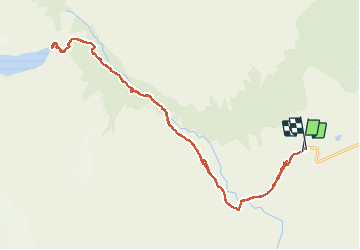
Trail Walking Torres del Paine - Torres del Paine - Photo
 FERAUD
FERAUD

User

© OpenStreetMap contributors
Length
Length
22 km
Max alt
Max alt
884 m
Uphill gradient
Uphill gradient
1009 m
Km-Effort
Km-Effort  
35 km
Min alt
Min alt
122 m
Downhill gradient
Downhill gradient
1006 m
Boucle
Boucle
Yes
Creation date :
2018-04-17 22:53:20.781
Updated on :
2018-04-17 22:53:20.781

(0 Reviews)

Walking
Walking
9h14
Difficulty : Easy

Scan this QR Code to open this trail in the SityTrail application

FREE GPS app for hiking

Logo SityTrail SityTrail

IGN / Geographical institutes

Download SityTrail from the App Store Download SityTrail from Google Play

Logo SityTrail SityTrail World

The world is yours!

Download SityTrail from the App Store Download SityTrail from Google Play Download SityTrail on Huawei AppGallery

About

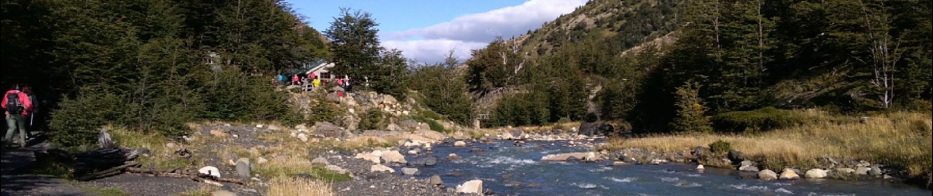
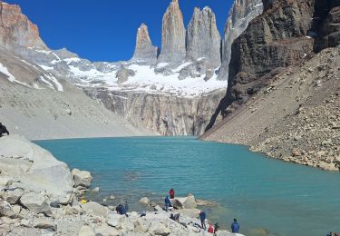
Trail Walking of 22 km to be discovered at Region of Magallanes and Chilean Antarctica, Provincia de Última Esperanza, Torres del Paine. This trail is proposed by FERAUD.

Elevation profile

Photos

Positioning

Country:
Chile
Region :
Region of Magallanes and Chilean Antarctica
Department/Province :
Provincia de Última Esperanza
Municipality :
Torres del Paine
Location:
Unknown
Start:(UTM)
649982 ; 4351815 (18F) S.

Trails nearby

Trail Walking Torres del Paine - torres - Photo
Walking
ccourt

Walking

Very easy
Torres del Paine, Region of Magallanes and Chilean Antarctica, Provincia de Última Esperanza, Chile
34 km | 52 km-effort
9h 26min
No


Close
My subscriptions